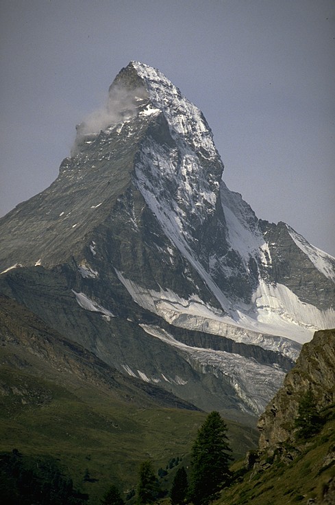
Climbing the Matterhorn (4476m).
Picture taken by Bernhard Muehr (muehr@imkhp6.physik.uni-karlsruhe.de)
Live picture of the mountain!
Link to the camera located atop Gornergrat (3130m).
The whole climb was done using the swiss route, known as Hörnligrat (the normal way to reach the peak).
Rockclimbing difficulty: III, most of the time I-II. It is a long alpine ridge climb which is made much more difficult by the big number of climbers. If you lose the correct path climbing gets harder and rock quality decreases significantly. If you're not coming from other mountain tours I would recommend to do an easy 4000 meter peak shortly before to get adjusted to the altitude, which makes it much easier.
I would like to upgrade this page, so please send me comments, ideas and even reports on climbs! Thanks to Michael Anderson, who did a fast guided climb in August 97 for his suggestions.
 New picture set added:
 (click on the thumbnails to get the big picture.)
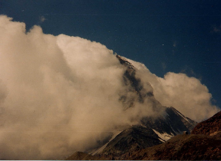
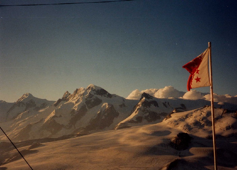
The famous 'flag' of clouds of the Matterhorn.
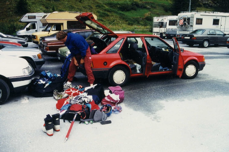
Checking our gear at the parking lot in Täsch. How the hell can we
carry all that stuff?
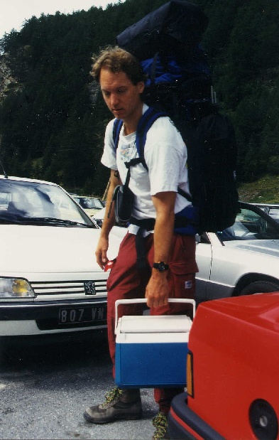
Rick lifting the cooler, you can read his face "do we have to bring along
all that beer?"
Following the tourist road to the Hörnlihut
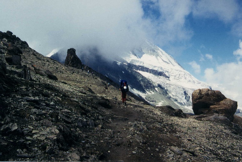
Getting closer to our goal, the mountain hides behind the
clouds.
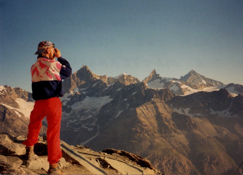
At the Hörnlihut I'm taking a picture of the beautiful Weisshorn (in
the background at the right end). In the middle you can see the
Zinalrothorn another great peak in the Walliser Alps.
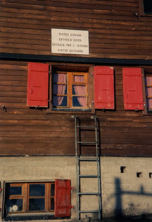
The winter entrance to the hut....
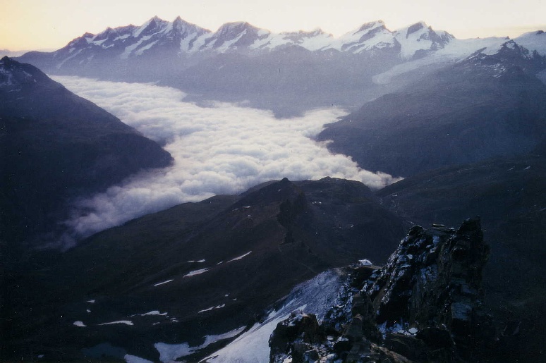
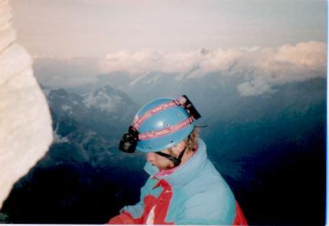
The morning of the climb. Fog is covering Zermatt in the valley, to the
right you can see the ice-covered Hörnliridge and the roof of the
Hörnlihut below us.
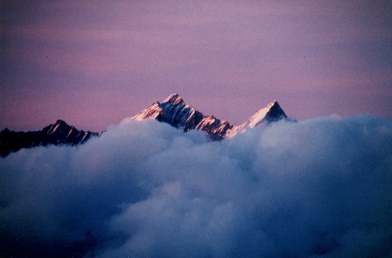
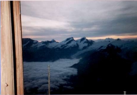
Sunset during our late descent. The last light is shining on the summits
of the Dom and Täschhorn.
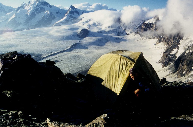
On a beautiful morning Rick is peeking out of our tent after a good
overnight rest after the climb.
Nice view to the Breithorn (middle-left) and the Kleines Matterhorn
(middle-right).
The similarity to the Breithorn gave the Broad Peak in the Karakorum his
name.
The pictures of our climb (old set):
(click on the thumbnails to get the big picture.)
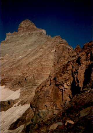
Okay, thats the goal. We are right now sleeping in one of the tents you
see at the bottom. There are several nice campsites right beside the
Hörnlihut at 3200 Meters.
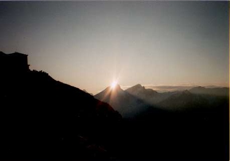
Sunrise! Of course we've started the climb already at night, I think it
was 4.30 or so but I recommend starting even earlier if you're camping
and not staying in the hut.
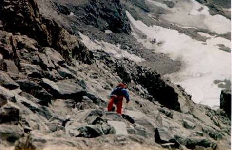
Hey, where's the route?
In fact this is a major problem at the Matterhorn.
And the traffic jams, the ridge was packed with climbers!
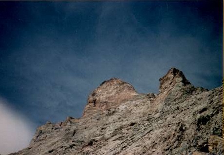
The peak is coming closer.
Unfortunately we don't have pictures showing the climbing action.
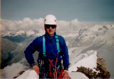
Rick at the top. Monte Rosa is visible to the right.
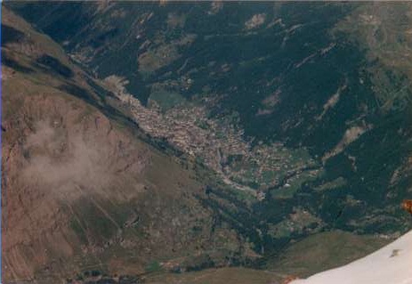
Looking down to Zermatt (1600m). Four Eyes looking down, hundreds looking
up!
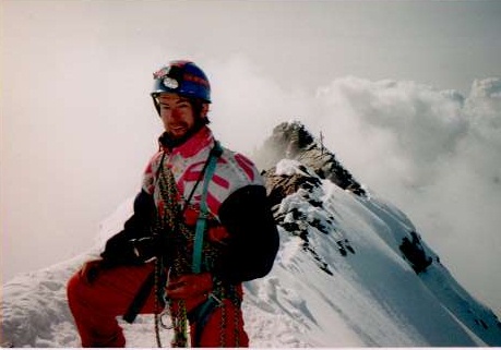
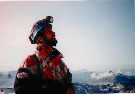
Okay, I was also at the top. In the background you can see the cross
which is located at the swiss/italian border.
We lost a lot of time due to traffic jams and the fact that we were not
adapted to the altitude, so the night was quickly falling during our
descent. It was a beautifull moonlit night and we reached the biwakbox
(Solvayhütte, 4000m) at midnight. It was already packed full so
I had to sleep under the table. It was bloody cold, too.
Good Morning Solvayhut.
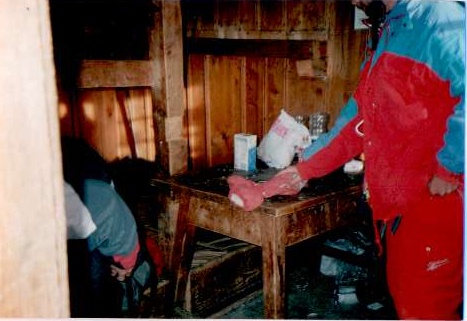
The place where I spent the night. Rick had so little room he had to cross
his legs and arms to squeeze in.
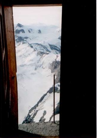
Watch your step when you leave!
An action-picture at last! Using the rope to descend from Solvayhut.
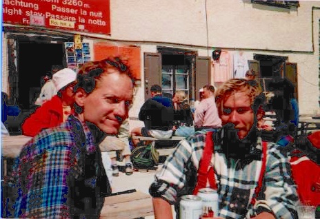
Yeah! Beer! We are back at the Hörnlihut and there is just one
thing better than a beer: another one!
BACK to the mountain-page