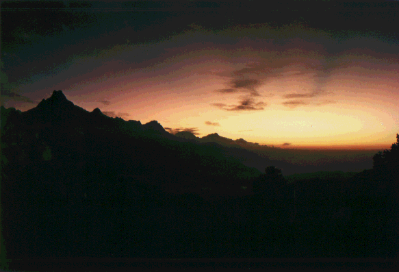
"Annapurna Sunrise"
One of the most fascinating things in the Himalayas (beside the people, their culture and the incredible landscape) is the light. This picture was taken from Deorali Pass (3000m) at sunrise. Machapuchare (6997m), one of the holy mountains, can be seen to the left. The twin-peak led to the name "fish-tail". Although Machapuchare is as high as the highest mountain of America, here it is just the beginning. I think the dark streaks in the sky are shadows of high mountains far to the east.
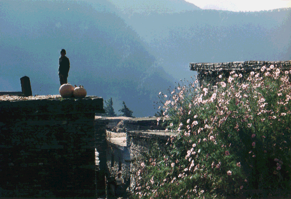
"What are these strangers doing here?"
A typical village in the Kali Gandaki valley. As we travel further and further north the people and villages get more and more tibetan. (Never forget: FREE TIBET!)
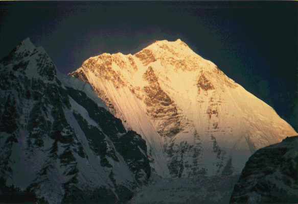
"Dhaulagiri (8167m)"
Here seen from the Kali Gandaki valley, this mountain was first climbed in 1960 by a Swiss expedition. Together with two sherpas and a German member of this expedition, the Austrian Kurt Diemberger also reached the top and became one of three climbers in the world to climb two 8000-meter peaks for the first time! One of the others is the unforgettable Hermann Buhl, who first climbed Nanga Parbat and later Broad Peak together with Diemberger. The third man is a Sherpa, whose name I unfortunately don't know.
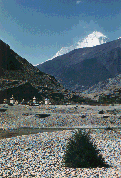
"Tschorten in Kali Gandaki valley"
These buddhistic shrines are found everywhere in Nepal, especially in the northern parts. Looming over the scenery is again Dhaulagiri.
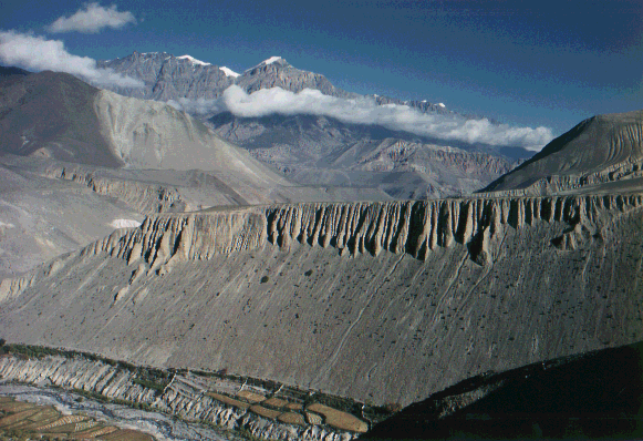
"Tibetan Landscape"
Although still in Nepal, the north part of the trekking leads through regions which resemble Tibet in every aspect. This picture was taken near the village of Kagbeni. The little kingdom of Mustang lies directly ahead of us, but we turned to the right to reach Muktinath.
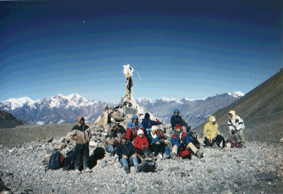
"Thorong La"
The trekking party at the highest point of our tour, the 5400m high pass Thorong La. In the background you can see the northern parts of Dhaulagiri Himal to the left and the mountains of Mustang to the right. Above us looms the huge blue sky, a prominent impression in these regions. From here the route leads down into Marsyandi valley and back to the south.
BACK to the mountain-page