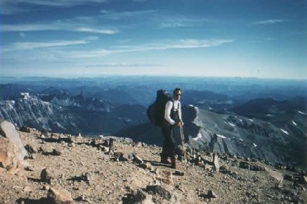
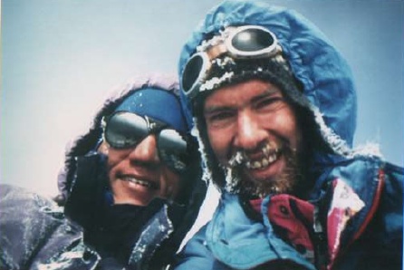
Climbing Mt.Rainier (4400m)

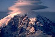
(Cascade Mountains, Washington State/USA)
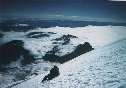

SUMMIT or BUST!

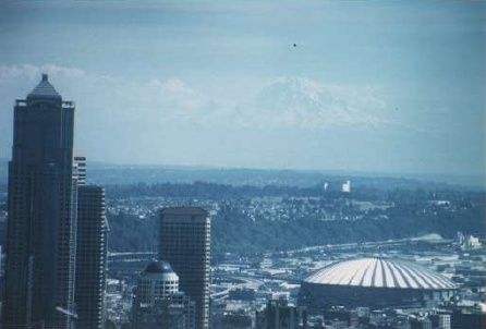
With the spectacular view of the vulcano from Seattle in our minds, Rick and I were heading for the second big goal in summer 97, Mt Rainier. We decided to take the 
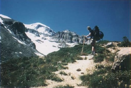
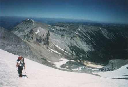
second most popular route to the summit, the Emmons-Winthrop route. 
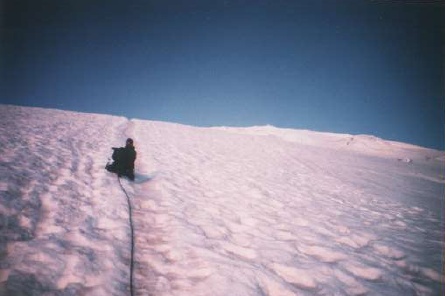
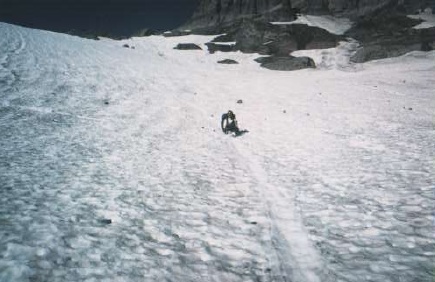
On the first day we climbed 1600 vertical meters from the campground, where we parked the car, to the highcamp called Camp Shurman at 3000m altitude. First the path leads you along the valley to the last campground (called Glacier Basin Campground) and further up on the moraine until you 
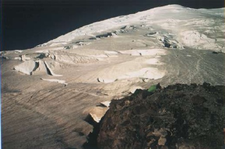
hit the Inter Glacier, which you follow up (beware of crevasses) to the old original site of the highcamp, Camp Curtis. From there it is just 20 minutes down and across to reach Camp Shurman.
We had pretty strong wind up there (TACOMA the ancient god of the volcano was challenging us), so fix your tent really carefully. In fact the wind kicked our tent down from the rocky shoulder where it was set up, as we were melting snow! After a windy night, we got up at around 3am, roped up, and began the climb at 4am. The path is well described by the numerous tracks you encounter. At 6am the sun rose in a spectacular burst of colors. The path leads uphill along the 'corridor', a region not broken up by crevasses. Further up we had to find our way across some big crevasses since some old tracks were misleading and snowbridges no longer there. As we got close to the crater rim the storm started again and clouds were rushing over the summit (TACOMA?). But we made it anyway, and after an 8 hour climb we stood (or rather sat, because of the strong winds) on Columbia Crest, the highest point of the crater. Mt.St.Helens and Mt.Adams were visible in the distance over the clouds. We took the same way down and within 4 hours we were back at Camp Shurman. The climb is not at all technically difficult, but some parts of it were so steep that we could not go the direct line, but had to zig-zag. As we reached the parking area the next day we saw on one of the parked cars the writing: SUMMIT OR BUST!

THE PICTURES: (Click on the thumbnails to get larger images.)

"Mt.Rainier from Seattle"
Like a cheap visual effect from a hollywood movie, the volcano hovers at the horizon as if it is not connected to the earth.

"On the glacier moraine"
Climbing uphill on the moraine, heading for the Inter Glacier, which is visible to the left.

"Inter Glacier"
Rising on the snow covered glacier torwards the 3000m 'Steamboat Prow'. Since Rainier is not surrounded by mountains, the view becomes spectacularly wide.

"Old campsite"
The original place of highcamp, Camp Curtis. From here it is just a couple of minutes more to the new site.

"Camp Shurman"
The Emmons/Winthrop glacier and the ascend route as seen from highcamp. The 'corridor' is that bank of ice just below the left skyline. Our tent, the little green thing, was blown from this rock down to the glacier on the left side!

"Purple Haze"
Two hours into the climb: the first daylight baths the 'corridor' in some kind of purple and pink light.

"Above the clouds"
High above the cloud layer and around the 4000m border, climbing starts to get slower and there are more little rests inbetween.

"TACOMA"
With strong winds again, Tacoma was challenging us but we made it to the top. After 8 hours we were at Columbia Crest the highest point of this volcano.

"Buttride"
The next day we descended in a not so asthetic but very fast way on the Inter Glacier.

BACK to the mountain-page